
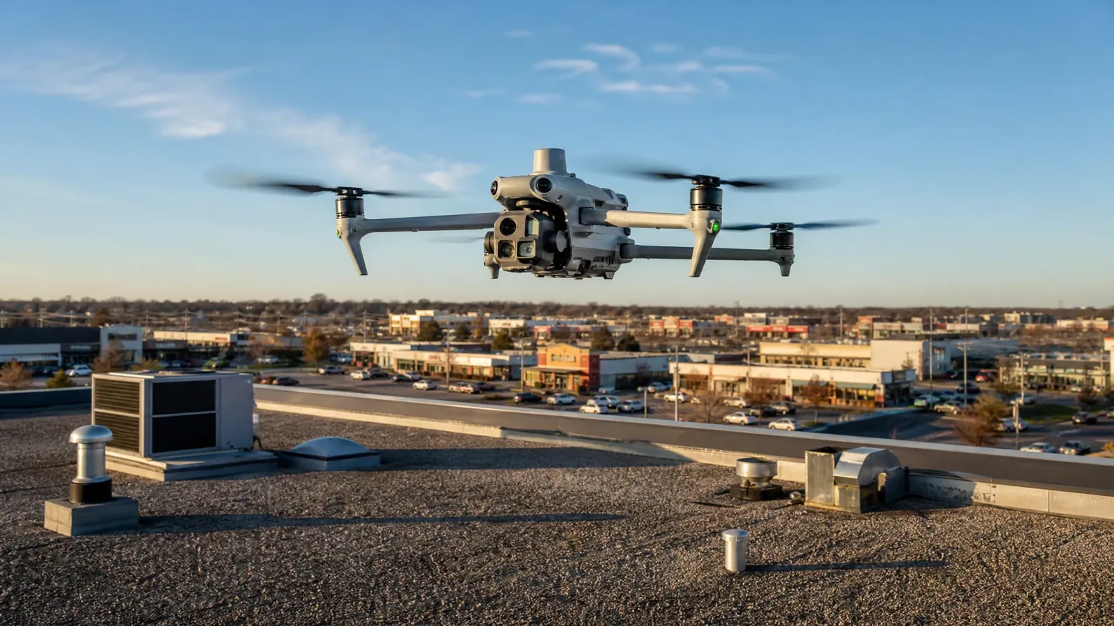
A drone can document a large roof surface quickly, but an image alone does not identify a failed seam or wet insulation. We use overhead views to map sections, note visible debris or displacement, and plan where a hands-on check should follow. Grand Prairie includes the Great Southwest Industrial District and industrial uses along parts of the SH-161 Corridor, so some roofs span broad operational areas. The drone view helps organize access and record surface conditions. We then verify critical edges, drains, curbs, and penetrations at roof level, where the repair decision depends on the actual detail.
Define what the aerial view must answer
Before flight, we identify the roof question: where a leak report sits, whether debris is widespread, which sections are hard to reach, or how to document a property before repair planning. The flight path follows those questions and the safe operating conditions. The image set can show roof boundaries, equipment layout, open areas, and visible surface changes. It cannot confirm material layers, attachment, or concealed moisture. We label the views by roof section so the owner and general contractor can connect them with access plans and Diligence Notes.
The Great Southwest Industrial District contains warehouse, distribution, and manufacturing uses. A wide roof there may benefit from an overview before a crew chooses a route across occupied operations. The SH-161 Corridor plan also identifies industrial land uses and warehouse-distribution centers in parts of its study area, along with other uses. That variety makes an actual roof map more useful than assuming each property has the same layout. A distribution center roof still depends on the building’s own equipment, traffic, and roof assembly.
Read the images as a roof map
Overhead images help establish where roof sections meet, how equipment is arranged, and which areas show visible changes from one view to another. We review image scale and angle before drawing conclusions. A dark patch, glare, or apparent pooling may be a lighting or surface effect rather than a defect. The field record notes what is visible and identifies any location that should be checked in person. This keeps the aerial survey useful without asking a photograph to prove a condition it cannot measure.
At a parapet or perimeter edge, the camera can reveal missing metal, debris, or a change in surface appearance. A close inspection is still needed to test attachment and flashing. The same distinction applies at rooftop units and penetrations. Curb and equipment transitions may need a hands-on check when the image shows an irregular boundary or prior patch. We can pair the flight record with a walked roof inspection that verifies selected details and creates a repair list.
Plan the next safe roof visit
Aerial planning can reduce unnecessary movement across the roof, particularly where equipment, tenant areas, or active work zones limit access. We use the map to select inspection points and coordinate with the site contact before a crew arrives. Flight operation itself depends on safe conditions, airspace requirements, property authorization, and suitable weather. If the drone cannot fly, the inspection can proceed by another safe method or be rescheduled. The owner is told which portions were documented and which remain unobserved.
In a distribution area, overhead images can help locate a roof access point relative to staging and loading operations. Along SH-161, a mix of industrial and nonindustrial parcels means each access plan must be property-specific. We do not infer roof type or damage from the surrounding corridor. Photos simply provide a better route for the next inspection step. Where a leak is active, leak tracing uses the interior report and roof detail together rather than relying on an aerial image alone.
Use imagery to trace drainage
Aerial views can make broad drainage patterns easier to see. We map visible drains, scuppers, overflow points, and roof areas where debris or surface changes might affect flow. A drone image cannot measure slope or confirm that an outlet is open below its surface. The inspection notes locations that need a closer check and records whether a follow-up test was completed. If a drain detail is suspected, drain and scupper work can be scoped after the crew confirms the bowl, sump, and surrounding membrane.
DFW spring storms can bring hail, damaging wind, and heavy rain somewhere in the Metroplex, but those regional hazards are not evidence of impact at a given property. Imaging after a reported storm can document visible changes for comparison with pre-event records if available. We still inspect the roof for actual punctures, lifted edges, or open seams. July and August regional highs reach the mid-nineties on average, so heat and glare can also affect image interpretation and flight timing. The field record explains what the images show and what still needs verification.
Separate visible change from confirmed failure
The drone report divides observations from diagnosis. A visible scuff, ponding appearance, debris line, or surface discoloration can be noted, but a repair recommendation requires a supported defect. We identify the roof section and the next test that could change the scope. If a close inspection finds a puncture or failed flashing, the repair boundary follows that detail. If moisture is suspected below the surface, moisture mapping with verification may be appropriate before removal is priced.
Cost and timing depend on roof access, the area to document, image processing needs, safety conditions, and whether hands-on testing follows. A simple image set may answer a site-planning question; a condition report may require more detailed mapping and field verification. We define the deliverable before work so the owner knows whether the visit is visual documentation, a repair inspection, or a combination. Images are labeled and organized by section rather than delivered as an unexplained file group.
Connect aerial records to Diligence Notes
The closeout package can include dated views, a roof map, notes on visible conditions, and locations selected for hands-on review. We label the limitations and record whether a follow-up check occurred. If the owner later schedules repair work, the map helps the crew find the same seam, drain, curb, or access point. That continuity is more useful than relying on a broad overhead photo without section names or a record of what was verified.
Aerial views can also support future comparisons after maintenance or severe weather. New images are most useful when the same roof sections and camera angles can be matched. A condition report can combine those records with inspection findings and repair priorities. For commercial properties in Grand Prairie, each recommendation remains tied to the property’s actual roof and operating limits. Share the roof area, inspection question, and access constraints to choose a useful flight and field sequence.
Commercial Roofing Questions
Can a drone confirm that insulation is wet?
No. Aerial imagery documents visible surface conditions and helps locate follow-up points. Suspected moisture needs an appropriate survey and, where the result changes scope, direct verification such as a selected core cut.
When is drone imaging most useful on a commercial roof?
It can help map a broad roof, plan access around equipment, document hard-to-reach areas, or compare visible conditions across sections. The question should be defined first so the flight record supports a repair or inspection decision.
Will the crew still need to walk the roof?
For critical seams, curbs, drains, edges, and suspected defects, a hands-on check may be necessary. The image set helps select those points and reduce unnecessary travel across an active roof.
What if weather or airspace prevents the flight?
The flight proceeds only when operating conditions and authorization allow it. We can use another safe inspection method or reschedule, then identify which roof sections remain undocumented so the owner can choose the next step.
What should the owner receive after the survey?
A useful package labels images by roof section, notes visible conditions, and distinguishes observations from defects confirmed in person. It also lists follow-up points and any limitations in the areas documented.
Map the roof before the next step
Share the roof area, the question the survey should answer, known leak locations, and access constraints. We can plan overhead documentation and identify which details need hands-on verification.
Call 555-555-5555 or request a roof assessment.